Written by Christine Johnston, NBN Atlas Project Officer
Apart from holding species data, the NBN Atlas can also hold spatial data layers such as boundary, habitat and environmental data layers. These spatial layers provide the background information that enables the selection of species records by specific features, such as protected areas.
Since the NBN Atlas was launched in April 2017 we have concentrated on uploading boundary layers. Recent additions include:
- UK local authority boundaries
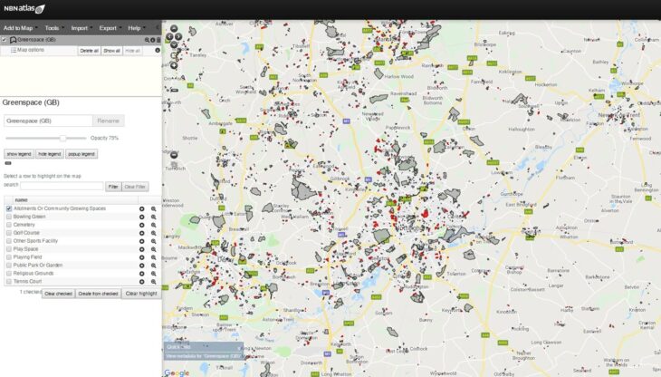
- GB greenspace boundaries
- Designated and protected area boundaries for the UK, including biosphere reserves, RAMSAR sites, world heritage sites, and SPAs and SACs with marine components
- RSPB reserve boundaries
We have also expanded the pre-defined regions that are available in the NBN Atlas ‘Select a region to explore’ interface. The regions included are: GB local authorities; Northern Ireland counties; local environmental records centres; Watsonian vice counties; Irish vice counties; and national parks. Species records for these regions can be quickly accessed through this interface.
The full list of available spatial layers can be viewed via the ‘Add Layer’ dialogue box in the NBN Atlas spatial portal. We aim to continue with monthly uploads of new and replacement layers, and over the next few months we will be focusing on identifying habitat layers for upload. We will be pleased to hear from you if you have any suggestions for suitable layers to upload.