3 September 2026
NBN Atlas increase to download limit
If you are downloading records from the NBN Atlas, the download limit has increased. Previously users could only download 500,000 records, but this has now…

Keep up to date with all the latest news and updates from the NBN Atlas.
3 September 2026
If you are downloading records from the NBN Atlas, the download limit has increased. Previously users could only download 500,000 records, but this has now…
4 March 2026
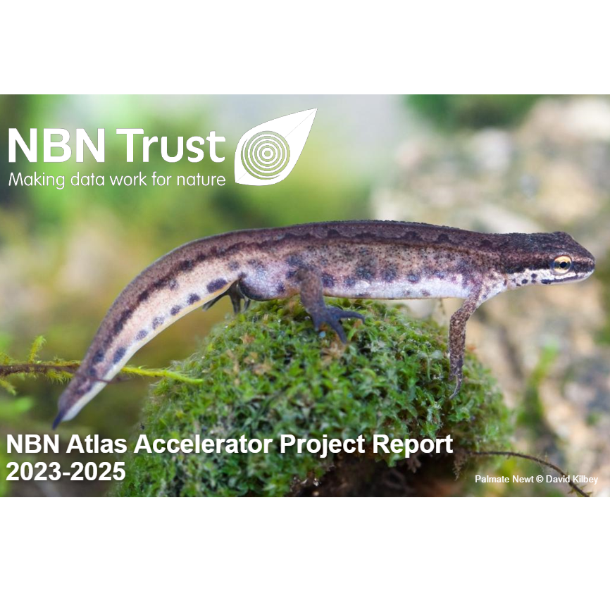
The 18-month NBN Atlas Accelerator project was delivered between December 2023 and June 2025, supported by Natural England through the Natural Capital and Ecosystem Assessment program…
8 January 2026
The NBN Atlas underwent a significant infrastructure upgrade in December 2025 with the transition to the new Pipelines architecture. This marked the culmination of the…

3 July 2025
The NBN Atlas Data and Development teams have introduced a range of new features being rolled out in the NBN Atlas. The updates are being…

1 May 2025
We are excited to announce the release of the NBN Atlas Access Controls. This will enable data partners to share and manage access to their…
7 April 2025
We are really fortunate to be working with Futures Wild to help us understand what is needed to improve the NBN Atlas maps. We know…
1 August 2024
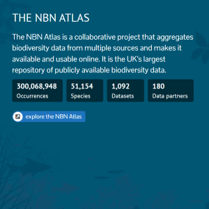
A huge thank you and congratulations to all our data partners for helping us achieve 300 million occurrence records being shared in the NBN Atlas.…
1 February 2024
The NBN Atlas is the national biodiversity data repository. Launched in 2017, it is the UK’s largest publicly accessible source of biodiversity data. It brings…
2 March 2023
Building a Modern, Resilient Infrastructure Using the AWS Well-Architected Framework with CirrusHQ Part of the NBN Atlas Fit for the Future Project, included optimising the…
2 February 2023
As NBN Atlas users will be aware, over the last ten months we have been implementing the NBN Trust’s Fit For The Future project (FFTF)…
1 June 2022
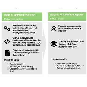
The NBN Trust’s Fit For The Future project (FFTF) will upgrade the NBN Atlas and re-align it with the Atlas of Living Australia (ALA). The…
1 December 2021
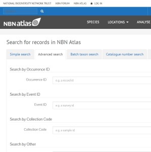
We have made improvements to the advanced search function, which is now live on the NBN Atlas. The advanced search had previously not been working…
3 December 2020
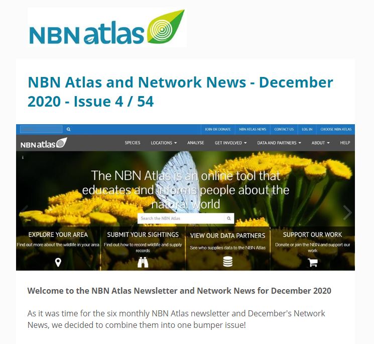
View the NBN Atlas News – December 2020 In this issue: New species search Updates to the Watsonian vice county GIS boundaries Spatial Layer update…
8 November 2020
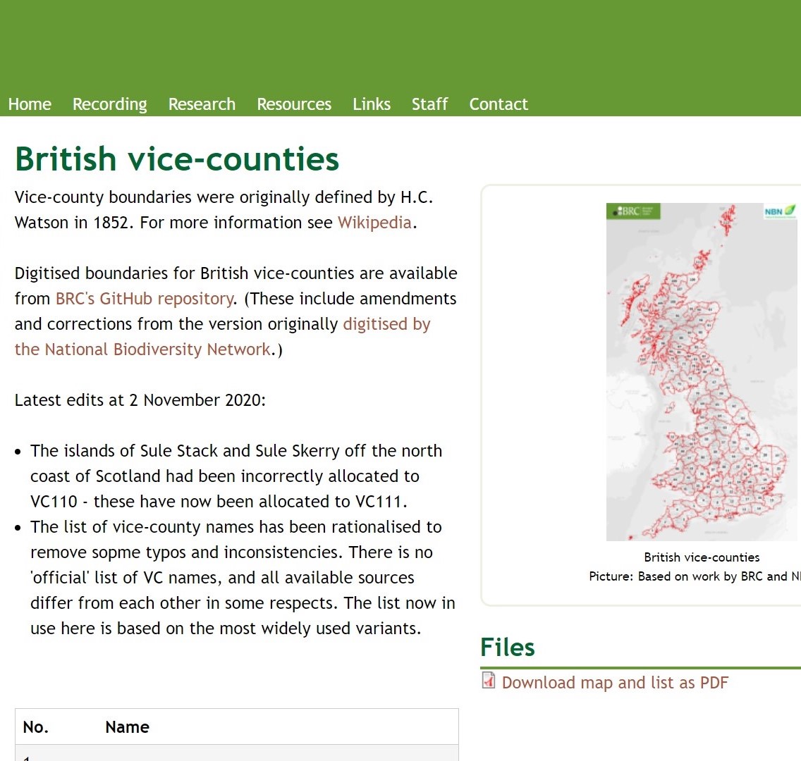
The Biological Records Centre has updated the Watsonian vice county names in the GIS boundaries file to correct typos and resolve inconsistencies. There is no…
8 November 2020
We have made several changes to improve the species search function of the NBN Atlas. The changes are effective from either of the search boxes…
8 November 2020
The NBN Atlas stores records based on a pair of coordinates and a measure of the uncertainty of the coordinates. For records supplied with a…

8 November 2020
The NBN Atlas is the UK node for the Global Biodiversity Information Facility (GBIF) and with the agreement of our data providers we regularly share…
8 November 2020
If you are using data for commercial purposes (one primarily intended for or directed towards commercial advantage or monetary compensation), you must not use any…
8 November 2020
The species dictionary on the NBN Atlas was updated with the latest version of the UK species inventory on 9 October 2020. The main updates since…
8 November 2020
Apart from holding species data, the NBN Atlas holds a suite of spatial data layers such as boundary, habitat and environmental data layers. These layers provide…