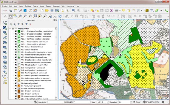
QGIS is a freely available open-source Geographic Information System (GIS) that matches the functionality and usability of commercial products like MapInfo and ArcGIS.
It has been adopted by governments, businesses and NGOs around the world. QGIS is revolutionising access to high-level GIS amongst professionals and amateurs alike and biological recorders are becoming aware of the rich set of tools it offers them to display, interpret and query biological records.

QGIS plugins are extensions to the QGIS program created independently of the core software and made available through the QGIS Official Plugin Repository. They can be accessed and installed from the QGIS program itself by any user. The Field Studies Council Tomorrow’s Biodiversity project developed one such plug in specifically for biological recorders. The Tom.bio plugin is designed to address two things to make working with biological records in QGIS much easier for UK users:
a. dealing with Ordnance Survey grid references
b. data structured as biological records (who, what, where & when).
The plug-in is so well regarded it won the Best Practice Knowledge Sharing CIEEM Award. The tool allows users to create OS grids and map species records from a spreadsheet with ease, and also map species records directly from the NBN Atlas, using web services.
Training courses
If you are an ecological consultant, wildlife professional, biological recorder or recent graduate and would like to learn how to use QGIS to visualise, explore and analyse spatial data, there are some upcoming courses (see links below) that may be of interest. The TomBio plug-in will be covered in-depth on both.
A Holisitc and Practical Introduction to QGIS
QGIS for Ecologists and Conservation Practitioners
Matt Davies, who is providing the training for the courses, is a professional ecologist and geographer with 20 years’ experience in the UK environment sector. He is an associate tutor for Field Studies Council and CIEEM, providing QGIS training.
